Our Work
All projects.
A selection of architecture, structural, MEP and infrastructure projects delivered with precision across every stage of digital delivery.
 1 / 4
1 / 4Survey & Inspection
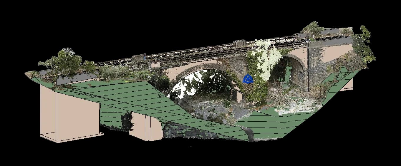
Bridge Laser Survey & Condition Verification
High-precision laser scanning was carried out to document the bridge's existing condition and verify its geometry. The collected point-cloud data provided an accurate digital reference for technical assessment and further design development.
 1 / 3
1 / 3Infrastructure
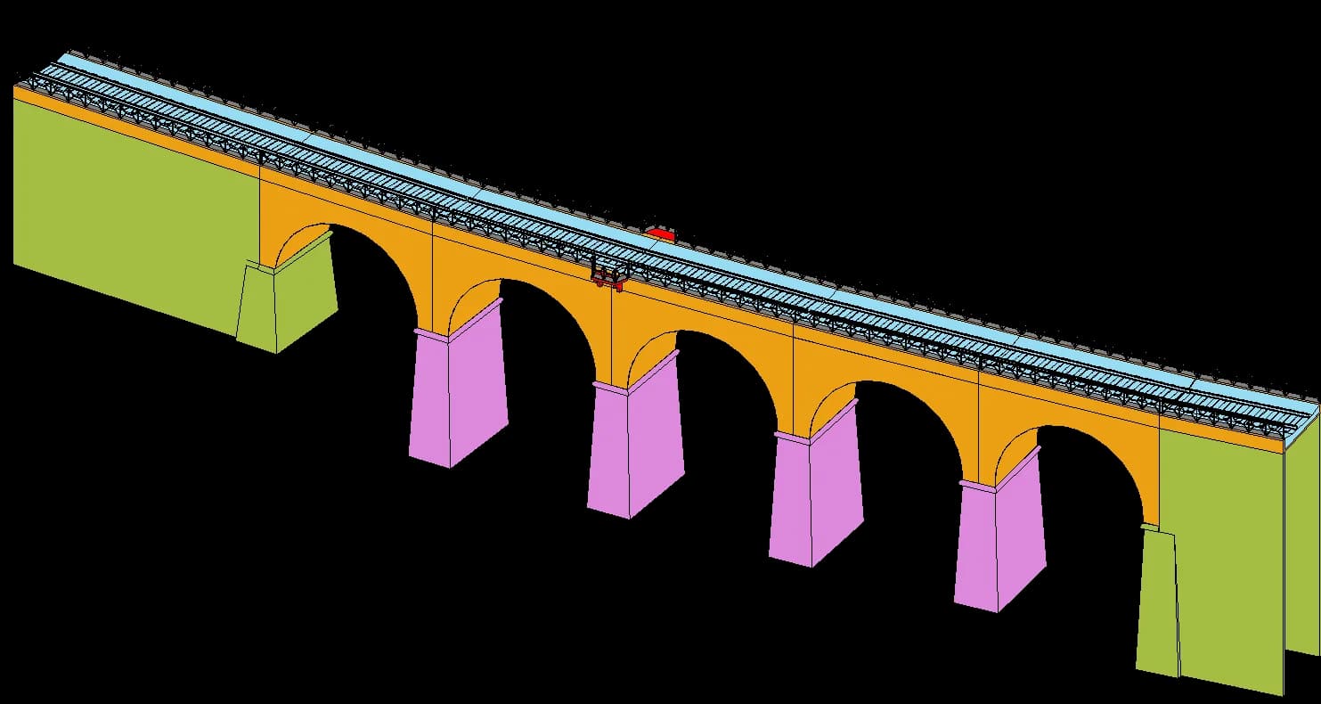
Historic Arch Bridge Scan-to-BIM
A detailed BIM model of an existing multi-span arch bridge was developed from laser-scan and survey data. The model accurately represents the bridge geometry, structural elements and site conditions, providing a reliable basis for rehabilitation and technical documentation.
 1 / 3
1 / 3Transport Infrastructure
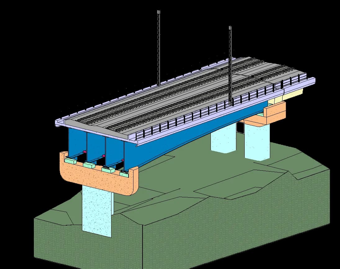
Railway Bridge BIM Modeling
A detailed BIM model of a railway bridge was developed from available drawings and survey information. The model includes the structural system, railway deck, supports, foundations, safety barriers and project-specific parametric components.
 1 / 5
1 / 5Infrastructure
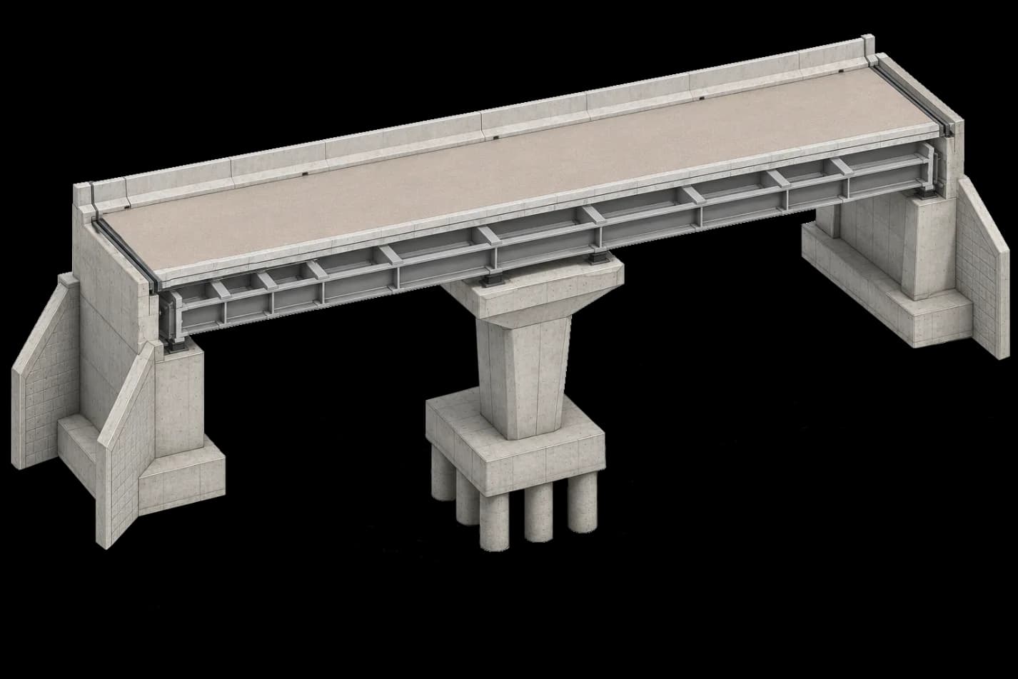
Road Bridge BIM Modeling
Detailed BIM modeling of various road bridge typologies, including concrete and steel structural systems, decks, girders, piers, abutments, bearings and deep pile foundations. Custom Revit families were developed according to each bridge's geometry and required level of detail.
 1 / 2
1 / 2Industrial
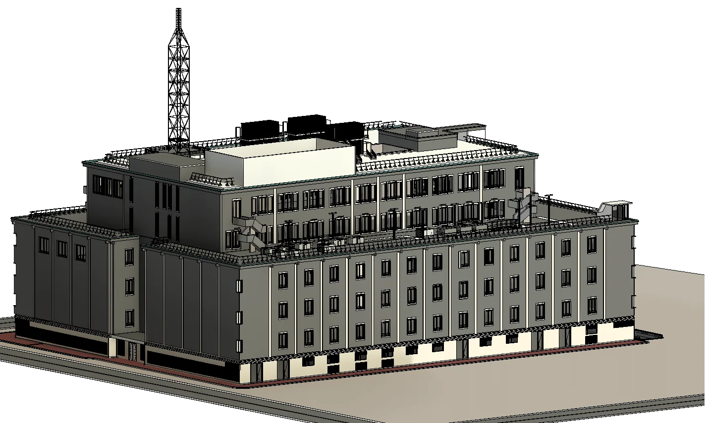
Industrial Building Scan-to-BIM
An accurate BIM model of an existing industrial building was developed from point-cloud data. The model captures the building's geometry, façades, roof elements and architectural details to support documentation, coordination and future interventions.
 1 / 3
1 / 3Industrial
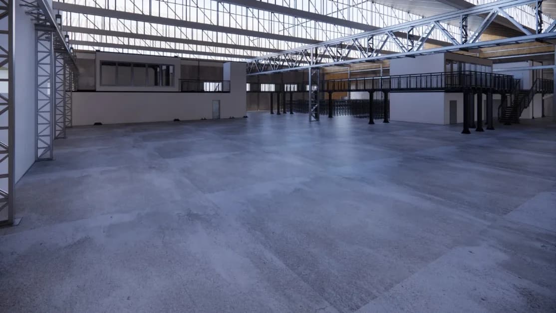
Industrial Facility Redevelopment
Survey and BIM modeling of an existing industrial facility, followed by the development of the proposed design. The project included regular site inspections, construction progress monitoring and technical documentation for each project phase.
 1 / 4
1 / 4Education
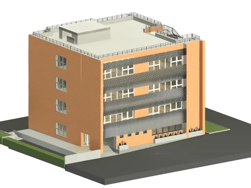
Educational Building BIM Development
Multidisciplinary BIM modeling and technical documentation for a multi-storey educational building. The project included coordinated floor plans, spatial layouts, façades, construction details and documentation to support the design and construction phases.
 1 / 3
1 / 3Sports & Recreation
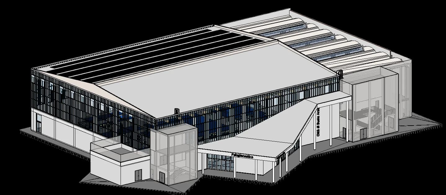
Sports Complex Rehabilitation
Multidisciplinary BIM development for the rehabilitation of a disused sports complex. The project covered architectural, structural and MEP modeling, interdisciplinary coordination and technical documentation to support the building's renovation and return to use.
 1 / 3
1 / 3Landscape & Urban Design
Landscape and Parking Redevelopment
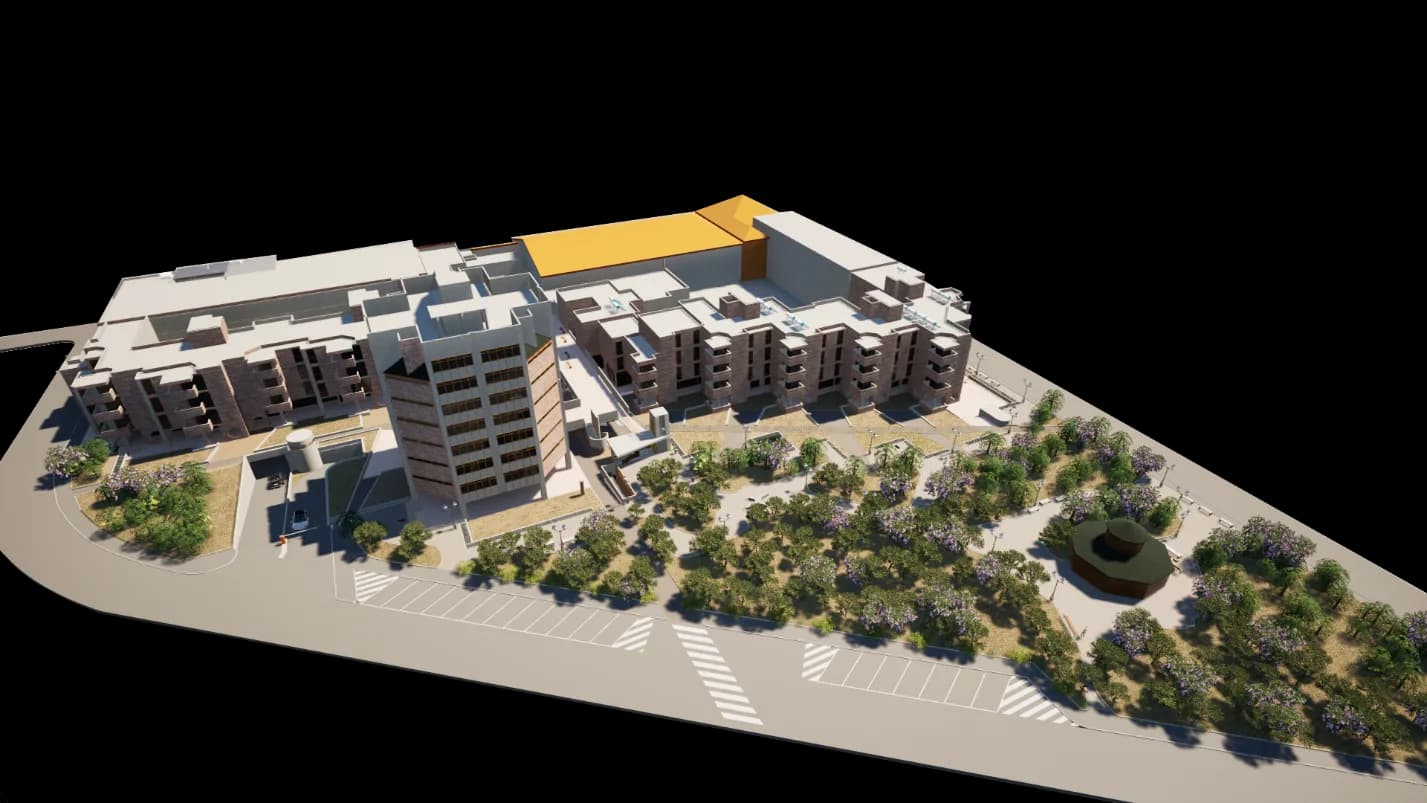
Rehabilitation of the outdoor areas surrounding an existing building complex, including the redesign of the park, pedestrian paths, green spaces and parking layout. The project also included site surveys, BIM modeling, technical documentation and architectural visualization.
 1 / 2
1 / 2Education
Educational Complex Scan-to-BIM
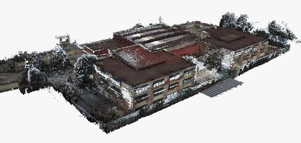
An accurate BIM model of the existing educational complex was developed from point-cloud data. The model captures the building's geometry, façades, roof structures and surrounding site to support as-built documentation, coordination and future renovation works.