Services
Geospatial Surveying & Reality Capture
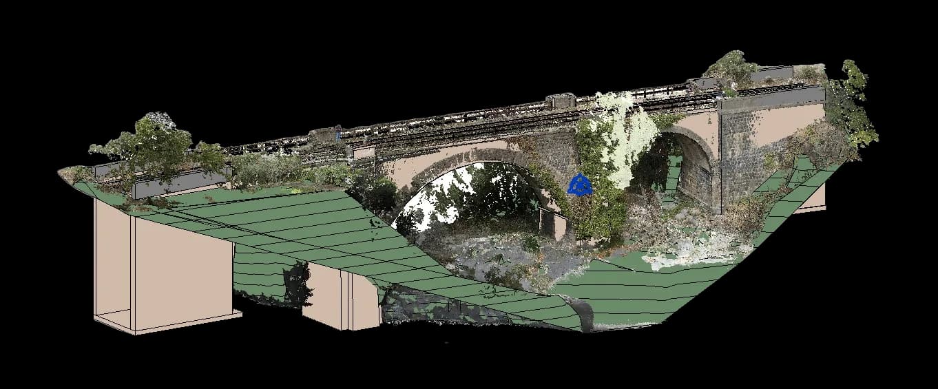
We define the survey scope, required accuracy and the most suitable technology before a single measurement is taken. Field data is then collected using GNSS, Total Station, LiDAR or drone photogrammetry, cleaned, georeferenced and coordinated into one dataset ready to become topographic plans, orthophotos, terrain models, point clouds and as-built documentation.
Start a Project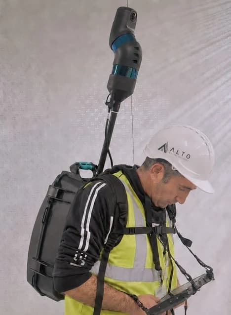
What’s included
- Survey scope, required accuracy and capture technology defined before fieldwork begins.
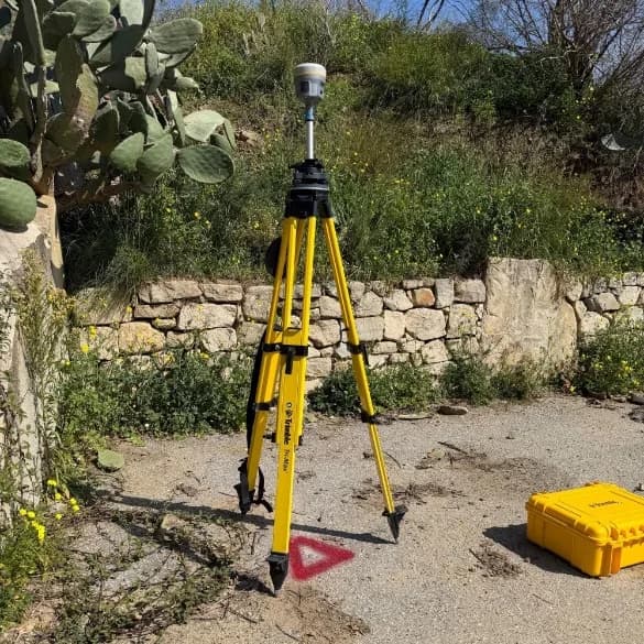
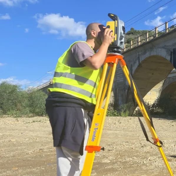
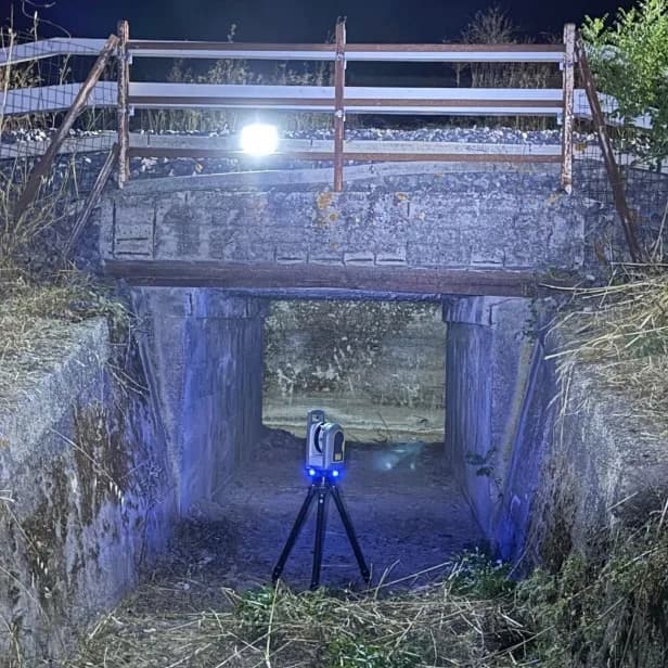
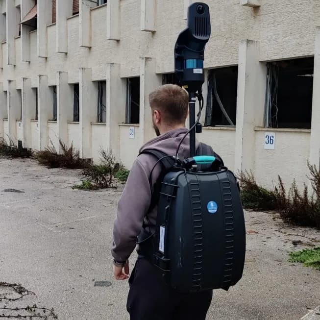
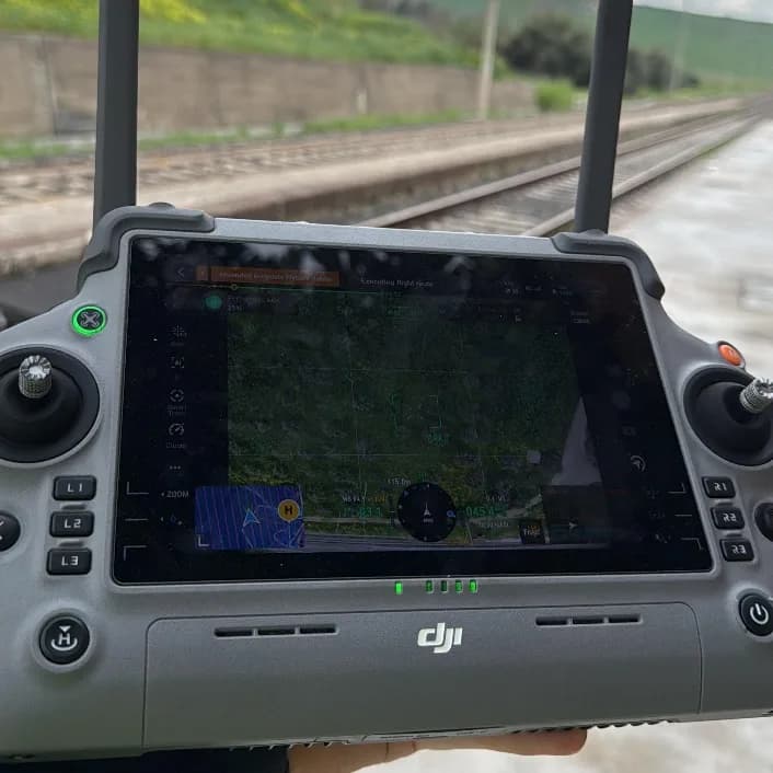
- GNSS, Total Station, LiDAR and drone photogrammetry — whichever combination fits the site.
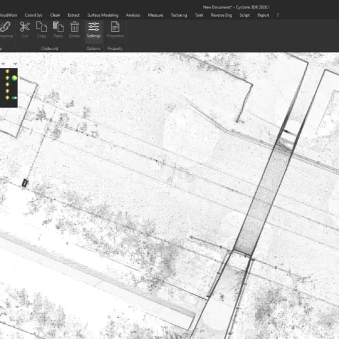
- Measurements, point clouds and aerial imagery cleaned, georeferenced and coordinated into one dataset.
- Topographic plans, orthophotos, terrain models, point clouds and as-built documentation delivered ready to use.
Field documentation
How it works
01
Plan
We define the survey scope, required accuracy and the most suitable technology.
02
Capture
Field data is collected using GNSS, Total Station, LiDAR or drone photogrammetry.
03
Process
Measurements, point clouds and aerial imagery are cleaned, georeferenced and coordinated.
04
Deliver
We provide topographic plans, orthophotos, terrain models, point clouds and as-built documentation.